
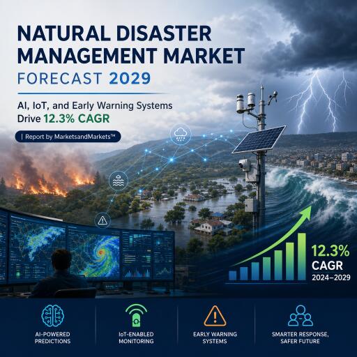

Natural Disaster Management Market Forecast 2029: AI, IoT, and Early Warning Systems Drive 12.3% CAGR | Report by MarketsandMarkets™
The global market for natural disaster management is accelerating as climate extremes intensify. Valued at USD 57.35 billion in 2023, the sector is estimated to climb from USD 63.95 billion in 2024 to USD 114.04 billion by 2029, reflecting a 12.3% CAGR. Governments, enterprises, and communities are investing in AI-driven forecasting, IoT-enabled sensing, and next-generation alerting to protect people, infrastructure, and supply chains. With weather-related events becoming both more frequent and severe, spending is shifting from reactive recovery to proactive resilience.
Market momentum and macro drivers
Over the past five decades, weather-, climate-, and water-related disasters have multiplied roughly fivefold, contributing to about two million fatalities and trillions in economic losses globally. This backdrop is reshaping policy, budgets, and technology roadmaps. Early warning systems, climate and hydrological sensors, redundant communications, and resilient infrastructure are moving to the top of public and private agendas, driving consistent multi-year funding streams.
Policy tailwinds and institutional readiness
Global frameworks are reinforcing the shift from response to risk reduction. The Sendai Framework has helped unify priorities around preparedness, mitigation, and resilience. National and regional initiatives are following suit: in the US, FEMA coordinates stakeholders and backs mitigation projects; across Europe, the Union Civil Protection Mechanism strengthens joint response and resource sharing. Many countries now embed disaster risk reduction into national strategies, accelerating deployments of warning networks and emergency communications.
Tech stack transforming the field
- AI/ML and predictive analytics: Models fuse weather data, satellite imagery, seismic signals, and historical patterns to forecast hazards, guide evacuations, and prioritize assets at risk.
- IoT and remote sensing: Distributed sensors, drones, satellites, and GIS provide continuous, high-resolution monitoring of floodplains, fault lines, wildfire corridors, and coastal zones.
- Integrated command platforms: Multi-hazard systems consolidate data feeds, automate alerts, and streamline coordination across agencies and jurisdictions.
- Resilient communications: Mission-critical LTE/5G, satellite links, and mesh networks keep responders connected when conventional infrastructure fails.
Segment insights
First responder tools lead communication growth: Tools that keep teams connected and situationally aware are forecast to grow briskly. Two-way radios, satellite phones, and mobile command centers maintain continuity when networks degrade. Drones, rescue robots, thermal imagers, and advanced search-and-rescue gear accelerate survivor detection and route planning. GIS layers and AI-powered mapping sharpen damage assessments and resource allocation in real time.
Consulting services command share: Advisory offerings span hazard identification, vulnerability assessments, risk modeling, and end-to-end preparedness planning. Engagements typically include incident command design, evacuation simulations, crisis communications, and responder training—ensuring agencies and enterprises can act decisively under pressure and recover faster post-event.
Asia Pacific in the spotlight
Asia Pacific is projected to deliver the highest growth through 2029. With dense populations and exposure to cyclones, floods, earthquakes, and wildfires, the region is rapidly scaling early warning systems, hardening infrastructure, and deploying advanced sensing and analytics. China, Japan, and India are among the most active markets, and with roughly 40% of the world’s population, the region provides a vast canvas for technology rollouts and cross-border collaboration.
What sets today’s solutions apart
Modern disaster management platforms move beyond single-purpose tools to multi-hazard ecosystems that connect preparedness, response, recovery, and mitigation. Continuous data ingestion from sensors and satellites enables real-time situational awareness, while predictive engines improve lead times for alerts. The result: faster decisions, more precise evacuations, and optimized use of scarce personnel and equipment.
Key players shaping the landscape
The vendor ecosystem spans communications, geospatial analytics, sensing, and platform orchestration. Notable names include NEC (Japan), Hexagon (Sweden), Nokia (Finland), Xylem (US), Esri (US), Everbridge (US), Blackberry (Canada), Vaisala (Finland), SAS Institute (US), SuperMap (China), Sadeem Technology (Saudi Arabia), Lumineye (US), Venti LLC (US), SimpliSafe (US), One Concern (US), Trinity Mobility (India), F24 (England), Alertus Technology (US), OroraTech (Germany), Dryad Networks (Germany), GeoSIG (Switzerland), Kinemetrics (US), Nanometrics (Canada), Sanlien Technology (China), Telegrafia (Slovakia), SeismicAI (Israel), and OTT HydroMet (Germany). Growth strategies commonly include partnerships, product launches, and geographic expansion.
Company snapshots
NEC
NEC underpins emergency connectivity with robust network infrastructure and has advanced rapid damage assessment by combining large language models with image analysis to locate and quantify impacts from aerial and ground imagery. In Indonesia, the company is collaborating with local partners to visualize climate risks and support adaptation planning for more resilient urban development.
Hexagon
Hexagon’s geospatial and digital twin capabilities help cities simulate hazards and plan countermeasures. Joint work with Fujitsu includes a flood prediction model and an accident risk tool, reinforcing urban resilience through scenario testing and data-driven mitigation.
Nokia
Nokia delivers mission-critical LTE/5G and secure networking to keep first responders connected. Its portfolio incorporates AI analytics and satellite-enabled backhaul to maintain communications in disrupted zones, supporting real-time coordination among agencies and NGOs.
Xylem
Xylem focuses on water resilience—from emergency pumping and drainage to smart monitoring of stormwater and flood risks. IoT sensors and analytics guide rapid deployment and optimize responses during extreme rainfall and surge events.
Outlook
As climate volatility reshapes risk profiles, the market is set for sustained growth. The next phase will prioritize interoperable platforms, AI-enhanced early warnings, and resilient communications that scale from local communities to national networks. With public and private stakeholders aligning around preparedness and mitigation, the sector is transitioning from isolated pilots to integrated, multi-hazard operations capable of saving lives and reducing economic losses at scale.